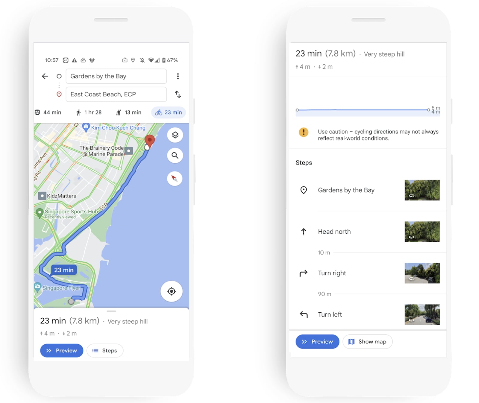
More Singaporeans have taken up cycling since the start of the Covid-19 pandemic. And now, Google Maps has added a new cycling navigation feature here. Singapore is the first country in Southeast Asia to have this new function.
Ms Cordula Oertel, Head of Geo Partnerships, Southeast Asia, Google, said: “In Singapore we have seen a huge spike in searches on Google for cycling routes, with a jump of 75 per cent from 2020, and an increase of 400 per cent from 2019.”

Using Google Maps, Singaporean cyclists can now get step-by-step cycling directions in Singapore’s island-wide network of green corridors linking major parks and nature areas across Singapore, dedicated cycling paths and recommended bicycle-friendly roads.
“With the new cycling directions feature on Google Maps, we hope to create a safe and helpful experience for cyclists as they plan their journeys and to offer commuters in Singapore a more sustainable, eco-friendly option to consider,” Ms Oertel added.
This Google Maps cycling navigation feature spans across 6,800 km of cycling trails and biking directions in Singapore, with around 500km of data provided by Land Transport Authority and National Parks Board (NParks).
Mr Chia Seng Jiang, Group Director, Parks East, NParks, said: “The launch of cycling directions on Google Maps will help more Singaporeans explore our green spaces easily on two wheels and in turn, benefit from the positive effects of nature on their mental and physical health and well-being.”

Cyclists can explore different cycling routes, track their trip progress with turn-by-turn navigation, receive real-time estimated arrival time updates and find out the elevation of the route. Plus, Google Maps will help cyclists avoid expressways and tunnels, which is a traffic offence.
Available for both desktop and mobile (Android/iOS), this new cycling navigation feature sits alongside the existing options of walking, driving and public transport in Google Maps.


